A scientific instrument analyzing the physical environment, Rodeo Beach, Headlands, CA
"The quadrat is a square (or any other shape) of defined ‘suitable’ dimension which is then used to isolate an area for detailed analysis. Quadrats are spaced along a line or through a defined area stretching across the area of study – this is the ‘transect’. This process samples a defined and discrete subset of a study area which, as a whole, would defy such precise observation. The quadrat and transect (like all instruments) embody both a methodology and a view of the world." (Donald Fortesque)
The analysis of data collected from the quadrats, resulted in a video installation from which I further generated a series of overlaying scans. These marks are cartographic representation of the geological and physical presence of wave forces on the land.
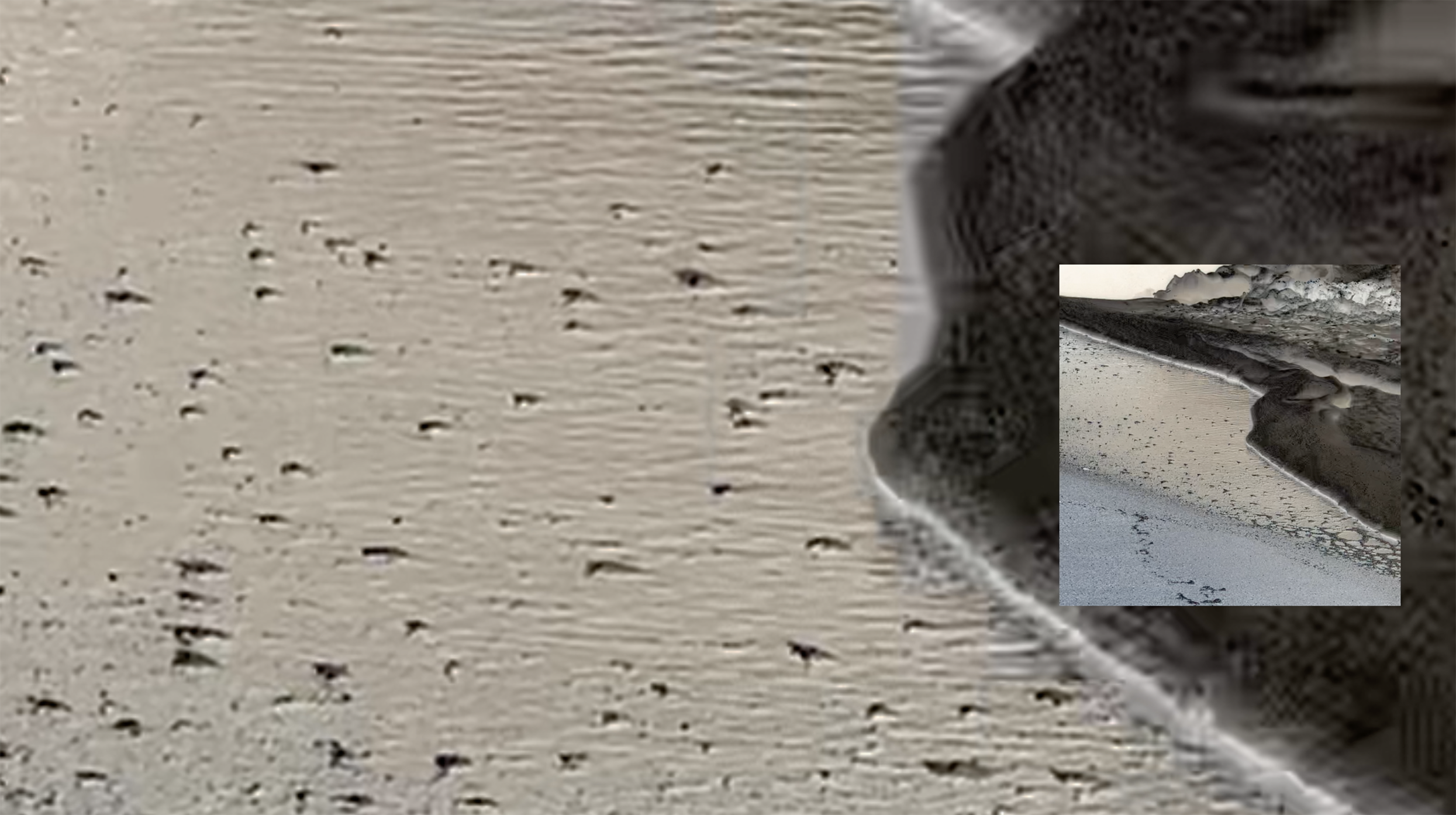
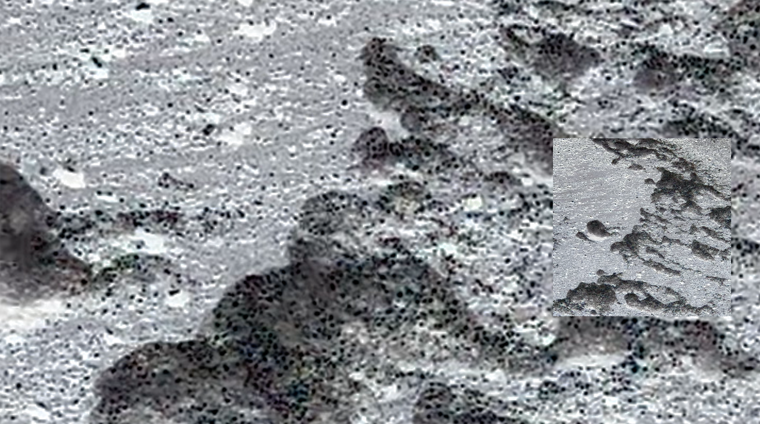
Set of instructions for Quadrat:
- Walk all the way to one side of the beach until a massive rock or high tides block your access.
- Find the location of the sun in the sky.
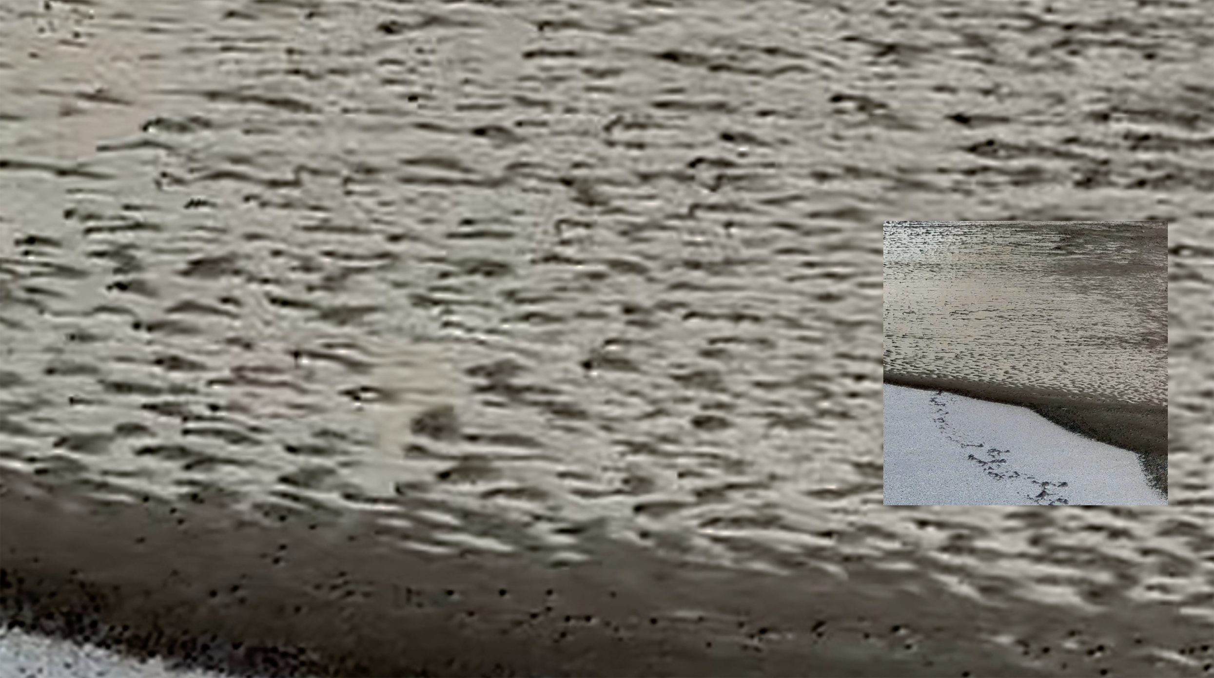
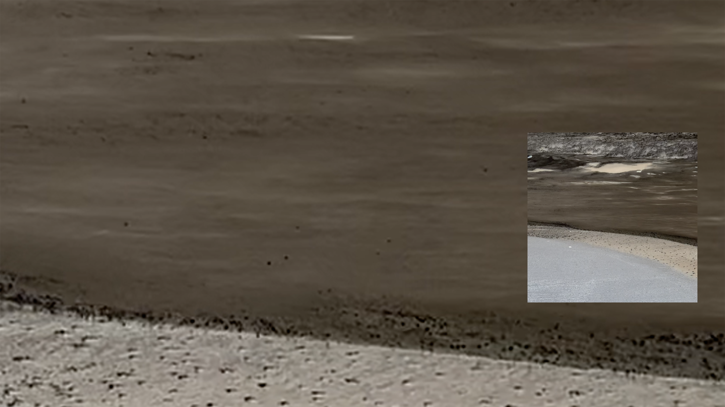
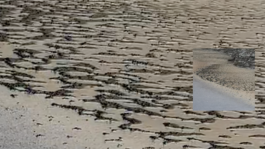
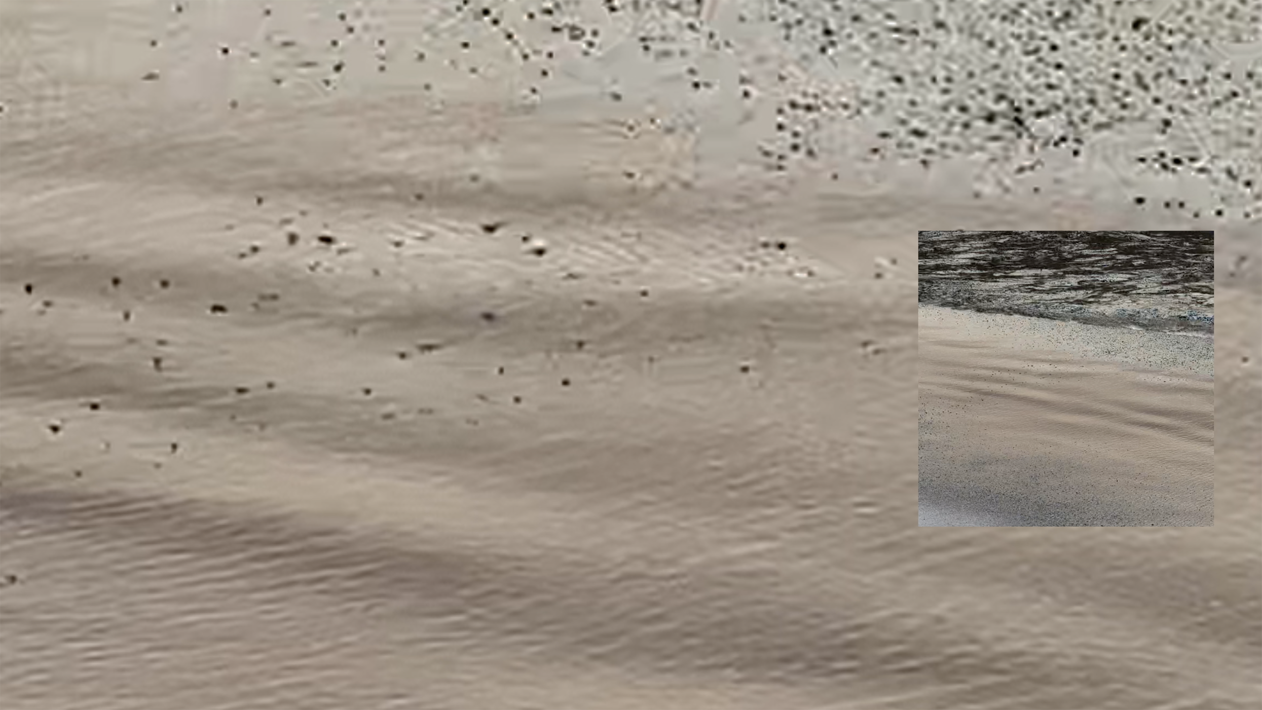
- Direct your camera towards where the sun, the waves and the land meet. This is a very specific angle.
- Record the frame for 10 seconds.
- Stop recording.
- Walk for 30 seconds to the opposite direction along the beach.
- Stop.
- Face towards the exact same angle and record for another 10 seconds.
- Repeat until another massive rock or high tides block your access on the other side of the beach.
©21st Century
Top