Poetic study of "air" and "edge" above the highest peaks in California (In Progress)
In this project, I explored the concept of drawing and extracting curves with air. I was interested in how altitude could transform the curvature of the border/edge between air and mountains and how the landscape could be interpreted using air as a visual element.
I first collected images of 10 highest mountain summits in California, most of which have been created due to volcanic activities. These images have been taken by the users of the website: Peakery who have climbed to the peak of the mountain.
Mapping the altitude difference between the summits, I created a spectrum for air density which was relative to the highest peak of the location. The higher the altitude, the lower air density. Using this simple physical phenomena I filled 10 balloons with different relative air density to each summit and depicted the curvature of each mountain with air. I attached a brush coated with paint to each balloon and hold the balloon in my hand, without any contact with the brush. I draw over the image of each mountain. The various sizes of the balloons created constraints in extracting curves accurately. The result is an archive of curves drawn with air. As the altitude increases, the definition of paint and the details decrease.
1. Mount Whitney
2. Mount Williamson
3. White Mountain Peak
4. Mount Palisade
5. Mount Shasta
6. Mount Sill
7. Mount Russell
8. Split Mountain
9. Mount Langely
10. Mount Tyndall
To further manipulate the original edge of the mountains, I scanned each original image and applied the curvature of the air drawn edge created using balloons, back into it while the scanner was running in a continuous movement. I wanted to change the curve that divides the air from the mountains, using the secondary curve that air drawing with balloons created. The new set of mountains have a slightly different curvature than the original, due to the movement during the scanning.
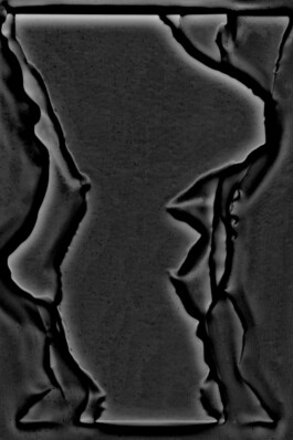
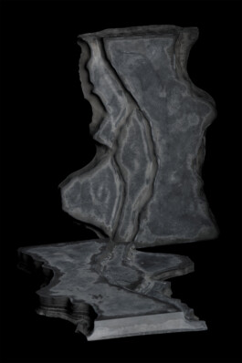
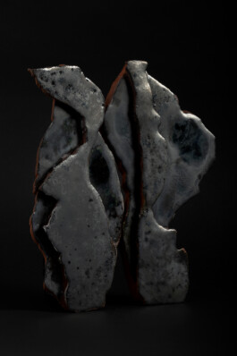
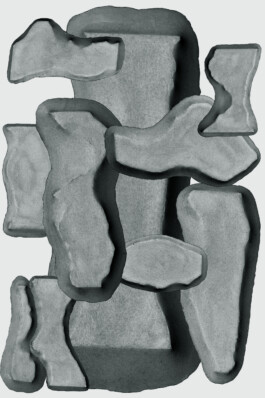
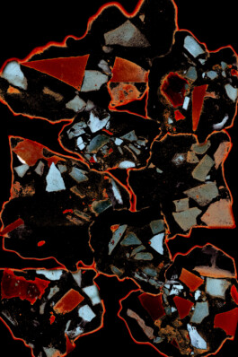
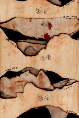
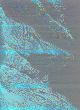
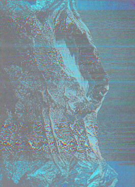
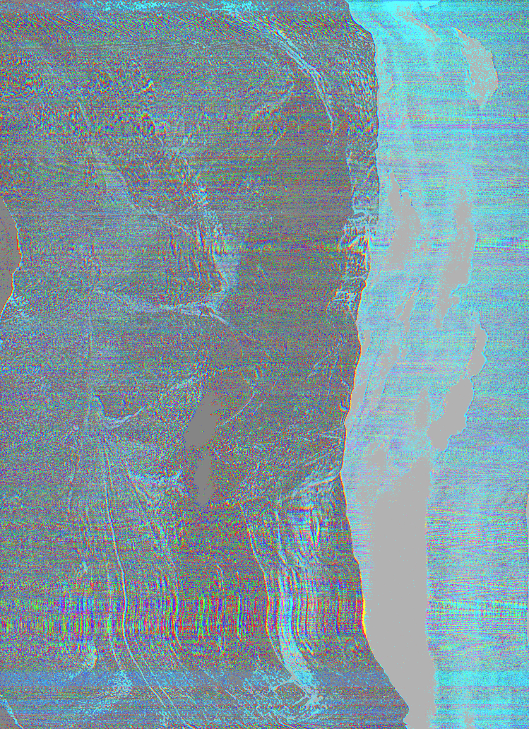
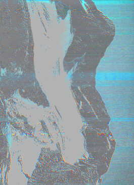
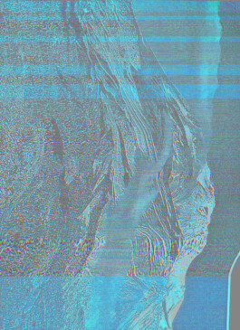
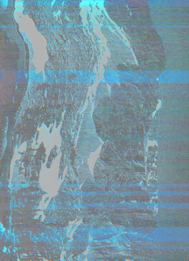
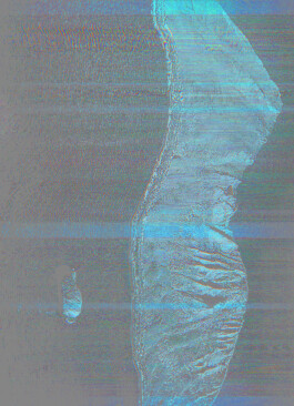
Lastly, I isolated the air portion of the second set of manipulated images to create a new set of curves which would generate a set of objects representing air as a geological element. The morphology of these objects represent the interpretation of landscape using altitude and air density as parameters and visual manipulation of images. From these forms I created laser cut templates. Air+air set of templates were vacuum formed using air pressure to form curve overlaps and new edge conditions for the previously manipulated edges with air density. Plaster and cement was poured into these molds to create new landscapes and new mountain edges. Vacuum formed molds have also been scanned and further abstracted. Lastly, I slumped glass over the cement forms as the representation of air trapped between the edges of the mountains. These 4 air juxtapositions were joined into an air volume by the glass fusing process. This object, encloses the air above the highest peaks in California.A 3D representation of air to solidify air into a permanent volume.
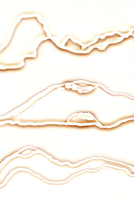
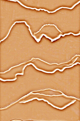
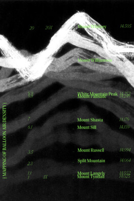
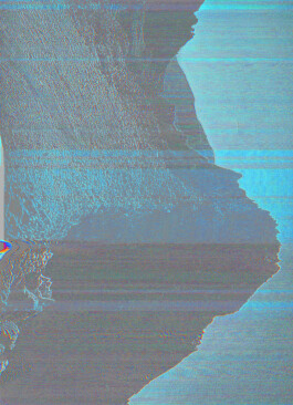
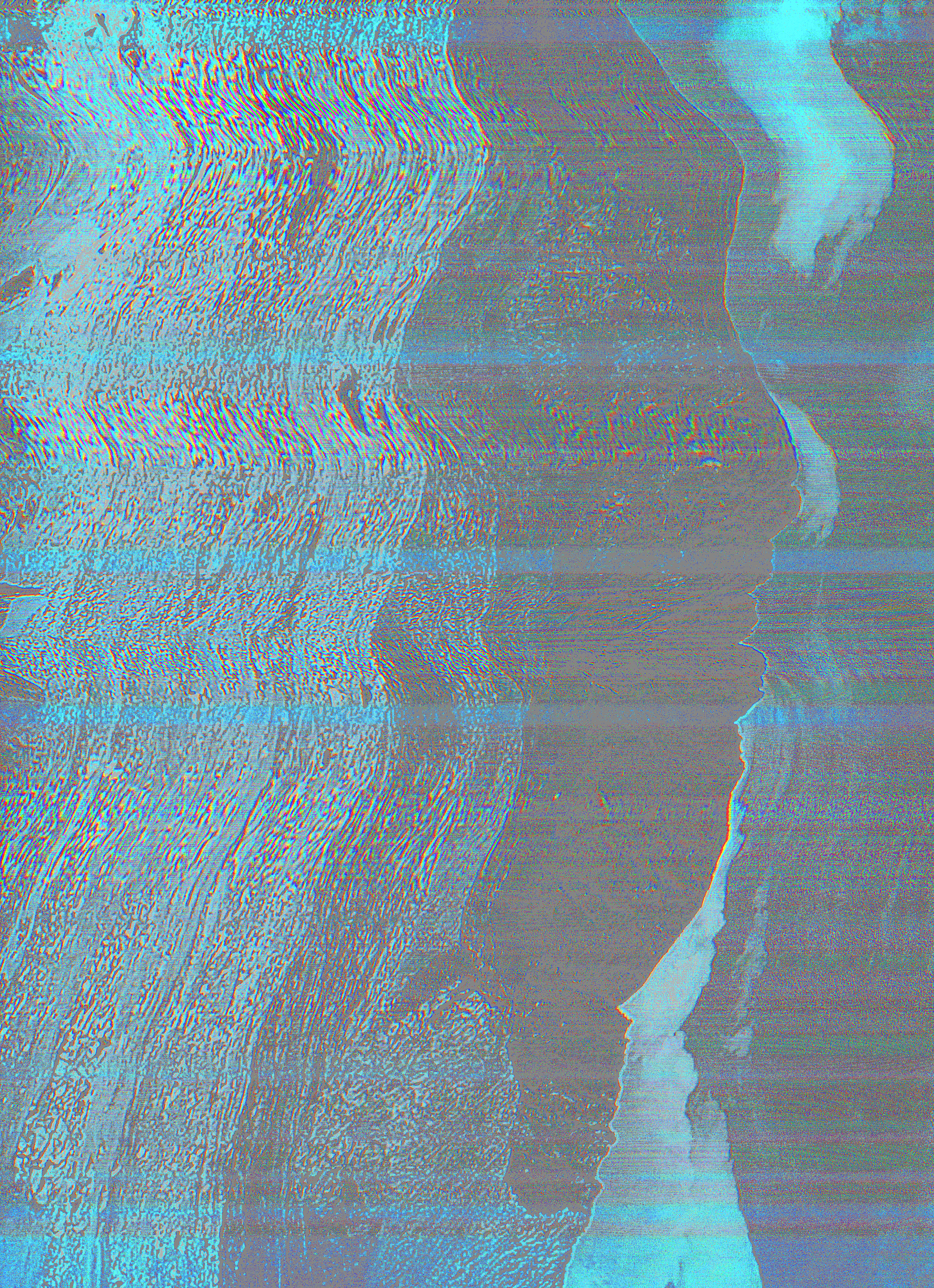
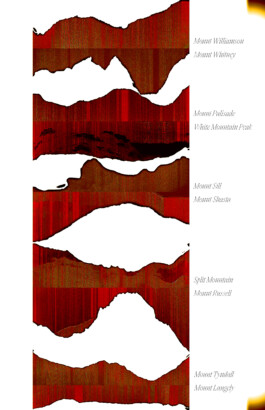
Throughout the entire process, the edge of the mountains (where land meets air, where solid shifts to gas) has been manipulated by different 2D and 3D methods of making. Drawing with air filled ballooned change the accurate edge creating secondary edges, scanning tracing the new edges, morphed and shifted the secondary edges, creating new curves and new meta mountains. vacuum forming the 4th level of distance from the origin, created the 5th edge condition due to plaster and cement casting which further resulted in the 6th grade edge of slumped glass sheets.
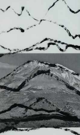
In this study I wanted to explore various ways that a simple curve gets translated and transformed based on the material and the medium. How can one draw a curve with different materials using different methods and how do these manipulations affect the deviation from the original?
Air + Air
Land + Land
©21st Century
Top